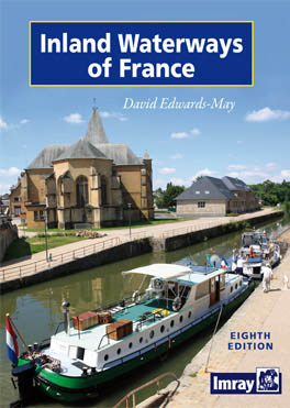
Description
by David Edwards-May
Eighth edition, Imray Laurie Norie & Wilson Ltd, 2010.
This well-established and attractive full-colour directory provides a wealth of details of distances, depths, heights, locks and other facilities along the waterways. The maps show details of all navigable inland waterways including 150 plans of waterway junctions and main towns. According to Fluvial, “à l’évidence le meilleur ouvrage consacré aux voies navigables de l’Hexagone” (manifestly the best guide to all the waterways of the ‘hexagon’ [a synonym for France]. The 9th edition is now available, in three volumes. This edition is kept in the shop since it is still available for collectors.


Reviews
There are no reviews yet.